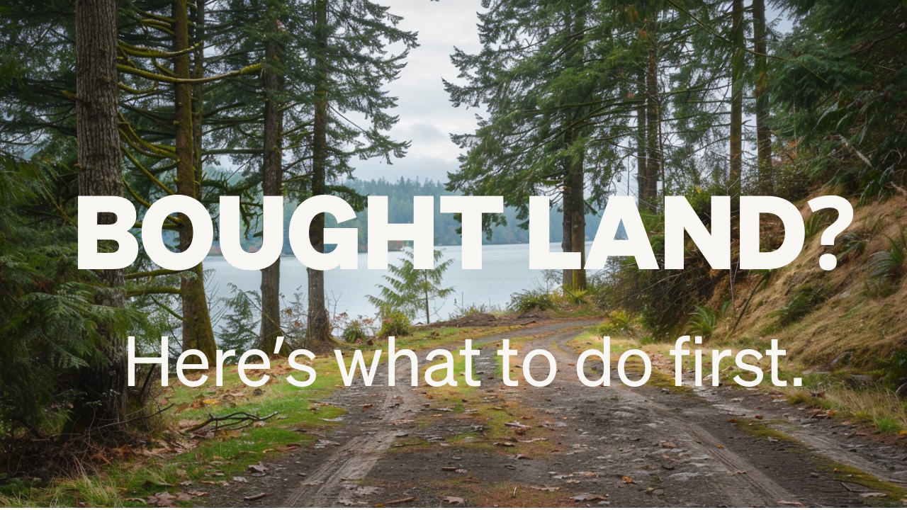
We Just Bought Land. Now What?
You closed on the property. You’ve got surveys perc tests and soil reports. You think you’re done with the feasibility phase.
You’re just getting started, my friend.
I worked with a client in Port Orchard WA who nearly made that mistake. She called me during her inspection period, before she even closed on the purchase. She had a plan for the property: Live in the main house. Build an ADU for Airbnb income on the waterfront. Waterfront location, solid market. It made sense on paper.
We ran a full Site Validation. It’s my architect-led review that uncovers the hidden opportunities and deal-breakers before you design or build. What we found changed everything.
The First Red Flag
She wanted to build an ADU for Airbnb income. Live in the main house, rent out the ADU on the waterfront. Straightforward business model. She was excited at the potential and I was equally excited about designing it for her, but this is why I insist on doing the Site Validation first.
I found that there’s an owner-occupancy requirement. The owner must reside in either the ADU or the primary residence. You can’t live in the main house and rent out the ADU as a vacation rental. In Rural Protection zoning, vacation rentals count as a separate dwelling. One dwelling per parcel.
We looked at alternatives. Bed and Breakfast House. That would require multiple conditional use permits (risky and expensive with no guarantee you’d even get approved). One for the B&B itself, another for commercial use within the Shoreline designation. And the owner still has to live on site.
The business model she had in mind wasn’t going to work. Not on this property.
That’s the moment most people realize the land they just bought doesn’t support what they actually want to build. But we were still in the inspection period. Nothing was final yet.
The Driveway Problem
Even if the owner-occupancy issue could be solved, there was another constraint. The county planner was explicit. You must use the same driveway access for the primary house and the ADU. This house enters from the north side of the parcel.
She wanted the ADU on the south side. Closer to the water. Better views. Separate access from the main house for privacy.
Not allowed. ADU code is very strict on this. The waterfront location she wanted wasn’t going to work.
The Infrastructure Problem
Then we got into the water and septic systems. Not individual wells and septic. Community systems. Shared with neighbors. The Brisbane Water system.
The county records showed the system was approved for 9 connections but only serving 5. There was a 2006 note. Facilities dilapidated. Need engineer for updated plan. The 2024 status report showed non-compliance with record keeping regulations.
You can’t build on land that doesn’t have functioning water and septic. And you can’t force neighbors to cooperate on repairs they don’t want to pay for. The engineer would need to assess capacity, determine what improvements were necessary, and then someone would need to pay for it.
We kept uncovering more constraints, not fewer.
The Access Road
The next thing we found was the road. A dirt path that cut through her property. It served as the access road for her landlocked neighbor. It was the extension of that annoying driveway, and since we couldn’t get rid of the easement to the neighbor, we were stuck with it.
The county determined that road was basically a street. Even though it looked like a path, even though it was technically an easement, the classification meant street setback requirements applied. That locked down a significant portion of the buildable area.
You cannot build within those setbacks.
Four Different Systems
Each of those was a different system. Zoning. Infrastructure. Neighbor relationships. County classifications.
No amount of money was going to fix those problems. Unless you count bribing the planning department, and in that case you’re on your own.
After the Site Validation, she walked away from the deal.
What That Saved
Port Orchard isn’t Bainbridge Island, but still, their spec houses run $700,000 to $1.2 million. She would have closed on waterfront property she couldn’t use. Years would have passed. Money would have been spent on design work that couldn’t be permitted. Attorneys would have been consulted. Neighbors would have been argued with.
Instead, she walked away during the inspection period. No wasted years. No design fees on a project that wouldn’t happen. No attorney bills fighting unwinnable battles.
That’s what Site Validation is. It’s not about having a checklist. It’s about understanding all the systems before you’re stuck with land you can’t build on.
If You Already Closed
Most people don’t do this until after they’ve bought the land. By then, you’ve already committed.
If that’s you, if you already closed, it’s not too late. You just need to know what you’re working with before you start designing. Before you fall in love with a plan that can’t be permitted and before you spend money on drawings that don’t account for the constraints.
The purchase study you did when you bought the land answered one question (for the seller). Can we sell this land? The boundary survey drew property lines. The perc test said the soil could support a septic system. The geotechnical report said the ground was stable.
None of that answered the question you actually need answered now. Can we build what we want on it?
What Site Validation Actually Looks For
Site Validation examines what the land allows before design begins. Zoning overlays. Setback requirements. Environmental designations. Utility routing. Slope constraints. Access requirements. Community system capacity if applicable.
It’s not just reading the maps. It’s understanding how those systems interact. What looks buildable on one map gets restricted by another overlay. What seems like a minor setback requirement changes where the house can go. What appears to be a simple access road turns out to be classified as a street.
Not to mention that it’s tailored to your specific needs and goals.
The Port Orchard client had four separate systems working against each other. Any one of them alone, maybe you could work around it. All four together? There was no path forward. I wanted to uncover the magic bullet that would have made this project a go, but everything I found said “run!”.
That’s what happens when you stack constraints without understanding them first.
The Sequence That Actually Works
The right sequence is this. Understand what the land allows. Then design within those constraints. Not the other way around.
Most people do it backwards. They fall in love with a design. They invest in drawings. Then they find out the land won’t support it. By then, they’re emotionally and financially committed to something that can’t be built.
I’ve seen clients spend $30,000 on design work before discovering a wetland designation that made half their plan unbuildable. I’ve seen people close on land and then realize the septic capacity won’t support the size home they wanted. I’ve seen beautiful waterfront lots where setback requirements from three different agencies meant the only buildable area was the worst part of the property.
All of that could have been found before design started. Before money was spent. Before expectations were set.
What This Costs vs. What It Saves
Site Validation runs $3,500 to $7,500 depending on property complexity. That’s less than most people spend on their first round of design revisions.
Compare that to what it prevents. Design fees on unbuildable plans. Permit application fees that get denied. Attorney consultations about variances that won’t be granted. Construction delays when problems surface mid-build.
The Port Orchard client spent a few thousand dollars to avoid buying land she couldn’t use. That’s not an expense. That’s insurance. It freed her hundreds of thousands to be used in an investment that would actually pencil.
The Fox Island Example
I had another client looking at land on Fox Island. South-facing, water views, actual sunlight in the Pacific Northwest. The top half of the hill looked perfect for a house. Rainier and the Olympics visible. Privacy from neighbors by staggering up the slope.
Site Validation found septic and wetland overlay designations. Almost all of the land was unbuildable. Period.
That was a few years ago. Nothing’s been built there.
Compare that to the Port Orchard client. She walked away clean. Found a different property she could actually use.
Where Most People Are Right Now
If you just bought land, you probably did a purchase feasibility study. Boundary survey, soil reports, maybe a perc test. All of that told the seller the land was saleable.
What you need now is different. You need to know where the house can actually go. How big it can be. What the slope does to foundation costs. Where water moves on the property. What the county actually allows.
The land has constraints you didn’t see at closing. Or didn’t think about. Or assumed wouldn’t matter. Site Validation makes those visible before you’re committed to a design that won’t work.
What Happens Next
You have two options. Start designing and hope nothing surfaces that kills the project. Or understand the constraints first and design within them.
The first option is how most people do it. The second option is how people who don’t waste money do it.
If you’re holding land right now and wondering what comes next, the answer is simple. Find out what the land actually allows before you decide what to design. Not after.
Could Site Validation have prevented a problem like the ones in Port Orchard or Fox Island for you?